Below is a news release from the Idaho Department of Fish and Game.
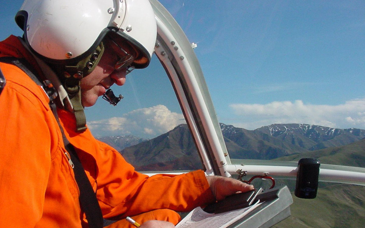
Aerial inventories occur in most areas of Idaho annually to obtain some of the information needed for science based big game management. Specifically, aerial inventories obtain data on sex and age composition of herds. In addition, they provide information on distribution, animal condition, concentration areas, and provide information on other wildlife species observed.
Safety/Animal Welfare
Human safety and animal welfare is the first priority while conducting these flights. Animals near or approaching hazards (highways, fences, structures, cliffs or rivers) are not surveyed unless they can be moved away from the hazards. Animals are not moved for extended periods- usually for just seconds for deer or small groups of elk, and larger groups are usually split temporarily, classified in sub groups, and then left alone to reorganize. Large elk groups can be challenging to classify however individual animals are typically exposed to only a short time of disturbance and then left to rest. Survey techniques are continuously evaluated to consider potential impacts to wildlife during inventory and capture work.
Not all aircraft, seen flying near or over big game animals, are under the control or supervision of Idaho Fish and Game. Skilled pilots and specialized aircrafts are used in order to safely conduct these flights with a minimal amount of disturbance. It is unlawful to harass wildlife and/or to use aircraft for hunting. If you see such flights occurring, please notify a local Idaho Fish and Game office.
Timing of Flights
Inventories for deer and elk normally occur in December and January, and are timed to try to take advantage of recent snowfall or adequate snow cover and provide a consistent timeframe of surveys. This increases the concentration of deer and elk and the visibility of the animals. It also tends to help “line” the animals out to expedite classification, reducing the time of disturbance. These benefits must be considered in context that winter is the most stressful season for all big game animals. This time frame is also generally before antler shed, allowing biologists to get more accurate sex ratios. Cooler winter temperatures also help prevent animals from overheating.
Other variables that can affect the timing of aerial inventories include weather appropriate for safe flying and reasonable visibility, helicopter availability and scheduling. Idaho Fish and Game uses contract helicopters and pilots with established standards for equipment and experience. Due to the limited number of qualified aircraft and pilots scheduling conflicts with different areas of the state do occur.
Why Aerial Observations?
Aerial surveys are used to reduce biases typically associated with ground surveys. Aerial surveys provide observers the ability to traverse large tracts of unroaded, broken terrain using a random or systematic sampling design which is impossible to deploy from the ground, where vehicles and foot surveys are limited by accessibility. Aerial surveys also provide a platform from which observers effectively can look through even relatively dense vegetation because of the improved vantage point of being above the animals. Aerial surveys produce the data inputs needed for population estimates modeling (below).
Advantages
- Allow for an improved observer platform that provides improved visibility through vegetation from above.
- Wildlife often move in response to low-level aircraft, which can increase their detectability.
- Helicopters can hover or maintain wildlife within view to improve classification time and position for observers. Because aircraft can cover relatively large areas in relatively short periods of time, sample sizes can be large. Thus, providing more reliable or better data.
Disadvantages
- Helicopters are generally the preferred aircraft for most surveys, but are the most expensive on an hourly basis. Fixed-wing aircraft are less expensive, but not appropriate for areas with rugged terrain and more dense habitats.
- Low-level aerial survey is the most dangerous work-related activity for wildlife biologists, even though safety is a constant focus of survey pilots and observers.
- Aerial surveys generate bias associated with misclassification because animals are typically moving when classified.
- Mountainous terrain requires modification to sampling grids. Helicopters are not able to follow a straight grid line and remain at a constant elevation above ground level in rugged terrain.
- Motion sickness can limit observer ability, and survey flights should end immediately if an observer develops motion sickness.
Alternatives
Alternatives to aerial surveys do exist, and are constantly being considered and evaluated. High- resolution digital photography has a great deal of potential because images can be obtained from higher elevations and analyzed later, and because this creates a permanent archive of observations. This technology is limited though because a camera does not have the ability that the human eye has to “zoom” while maintaining peripheral “wide-angle” vision. Limited use of technologically advanced detections systems, such as infra-red (FLIR) scanners, has been attempted. However, these techniques greatly increase costs of conducting surveys and have generally been inadequate for sex and age classification. These technologies are rapidly improving and someday may become operational.
(Photo source: Idaho Department of Fish and Game)