The Rocky Mountain Elk Foundation is a long-time proponent of the Land and Water Conservation Fund (LWCF), a program that generates $900 million annually from federal offshore drilling fees for the protection of important land, water and recreational areas across the nation. In fact, LWCF so far provided millions of dollars for RMEF to help permanently protect more than 162,000 acres of the country’s most important elk habitat and open public access to more than double that acreage across 12 states.
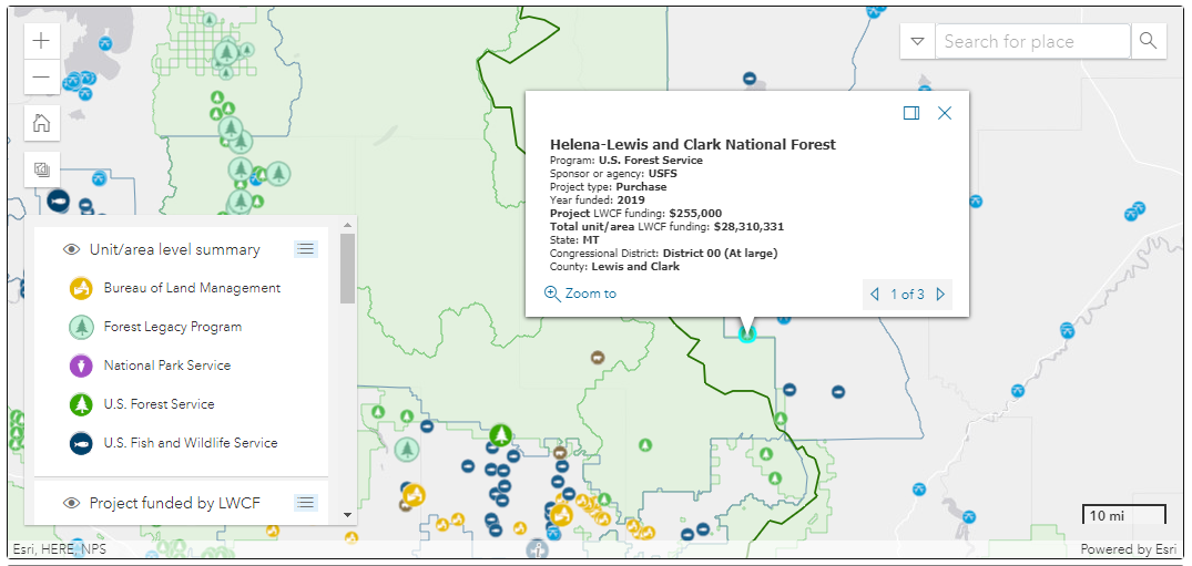
Now, there’s a new interactive map that allows Americans to see the widespread, positive impact LWCF had from Alaska to the Pacific Ocean, across the Lower 48 and into Puerto Rico. Created by the Trust for Public Land and in collaboration with LWCF Coalition partners, the map shows 98 percent of U.S. counties have a park or a green space funding by LWCF dollars.
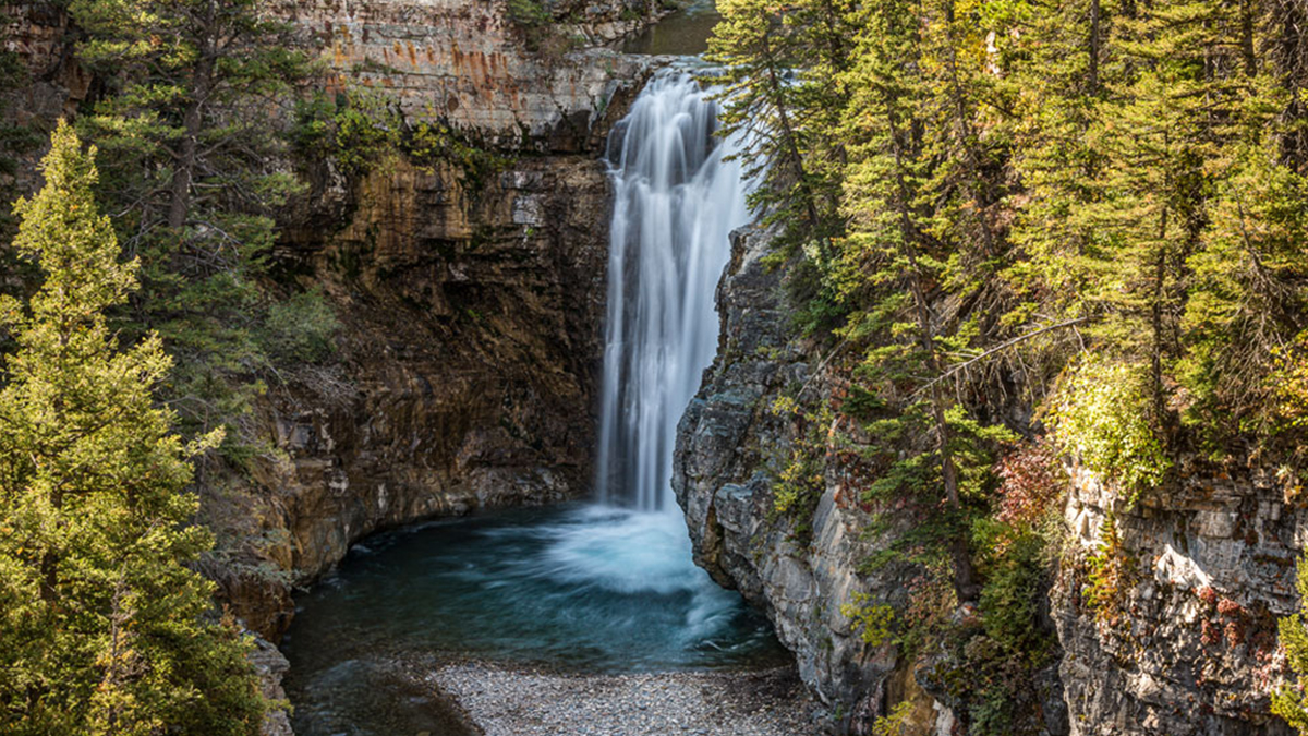
RMEF is a member of the LWCF Coalition and played an intimate role in permanently and fully funding LWCF. In March 2020, Senators Steve Daines (R-Montana) and Cory Gardner (R-Colorado) secured a meeting with President Trump and several staffers in Washington D.C. Daines then reached out to RMEF to acquire high-quality maps, photos and other details about RMEF’s Falls Creek project (photo above and highlighted in graphic below), which permanently protected 442 acres of wildlife and riparian habitat along Montana’s Rocky Mountain Front and greatly improved access to 27,000 acres of public land beyond.
The map allows users to search any portion of the United States. The more you zoom in, the more LWCF project icons you see.
Go here to use the map.
(Photo source: Rocky Mountain Elk Foundation)
(Graphic source: The Trust for Public Land)