Hunters now have new, updated information readily available at their fingertips to better access public land managed by the Bureau of Land Management (BLM).
A recent report by onX Hunt and the Theodore Roosevelt Conservation Partnership showed more than 9.5 million acres of public lands in the West are landlocked. In response to that challenge, the BLM Montana/Dakotas addressed the issue and launched a new geospatial data layer that displays access information to an additional 2.8 million acres of public lands.
“RMEF applauds the recent efforts by BLM to modernize mapping data. The display of this work will benefit countless hunters this season and beyond,” said Jennifer Doherty, director of lands at the Rocky Mountain Elk Foundation. “As RMEF continues to lead quality public access improvement projects across the west, we see this as a model to improve hunt planning and navigation.”
Hunters and others who enjoy the outdoors have public access to 8.3 million acres of BLM-managed lands in Montana, North and South Dakota. Users of onXmaps can utilize their app, which is routinely updated with the new data. The geospatial information is also available by going here.
The geospatial data created through this project also directly supports several presidential and Department of the Interior priorities, the John D. Dingell, Jr. Conservation, Management, and Recreation Act, and the Great American Outdoors Act, all of which support the enhancement of access to public lands for hunting, fishing and other recreational purposes.
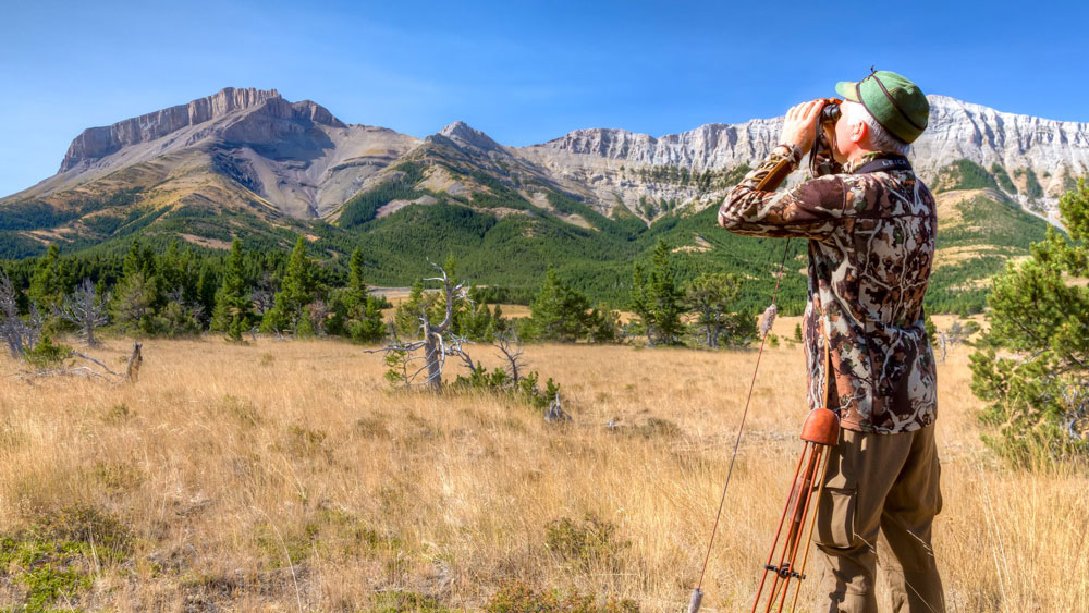
(Photo source: Bureau of Land Management)